
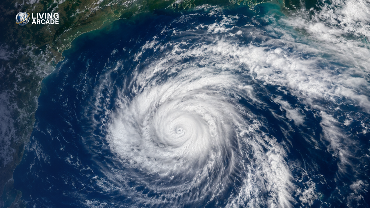
The Bay of Bengal Cyclone 2026 threat is becoming more serious as a depression over the east-central Bay of Bengal is forecast to strengthen further in the coming days. Bangladesh has placed its maritime ports under a cautionary signal, while the current forecast track points toward the Andhra Pradesh coast of India rather than a direct landfall in Bangladesh.
The developing system is being closely monitored because its strength and movement could still change. Weather authorities have advised fishing boats and trawlers in the North Bay to remain cautious and avoid deep-sea operations until further notice.
Bay of Bengal Cyclone 2026: System Gains Strength
The weather system initially developed as a low-pressure area over the east-central and adjoining southeast Bay of Bengal. It intensified into a depression by October 24.
According to the latest regional weather bulletin, the depression was located over the east-central and adjoining southeast Bay of Bengal early on October 25. It is expected to move generally southward before turning west-northwestward.
Forecasters expect the system to strengthen into a deep depression on October 25 and potentially become a cyclonic storm by October 26. Further strengthening into a severe or very severe cyclonic storm is possible before it approaches the Indian coast.
Bangladesh Gets Cautionary Signal
Bangladesh is not currently facing a confirmed direct cyclone landfall.
However, the Bangladesh Meteorological Department has asked the country’s four maritime ports—Chattogram, Cox’s Bazar, Mongla and Payra – to hoist Distant Cautionary Signal No. 1.
Fishing boats and trawlers in the North Bay have also been advised not to venture into deep waters.
This means people should remain alert, but the present warning does not indicate that a major cyclone is heading directly toward Bangladesh.
Where Could the Storm Hit?
The latest forecast indicates that the system could move toward the west-central Bay of Bengal and approach the Andhra Pradesh coast around October 28.
The projected landfall zone is between Bapatla and Visakhapatnam, with the system potentially reaching very severe cyclonic storm strength.
Forecast models currently indicate maximum sustained winds of around 115–125 km/h, with gusts potentially reaching 140 km/h near landfall.
Because tropical systems can change direction and intensity, the projected landfall location should not be treated as final.
Could Bangladesh Still Be Affected?
At present, a direct landfall in Bangladesh is not the leading forecast scenario.
However, Bangladesh could still experience indirect effects depending on the system’s eventual movement. Coastal areas may see increased rainfall, gusty winds and rougher sea conditions as the system develops.
Forecast guidance has also suggested increased rainfall in parts of Bangladesh from around October 27, particularly in coastal areas.
For that reason, residents in coastal districts and people working at sea should continue following official weather bulletins rather than relying on social-media forecasts or unverified cyclone tracks.
When Could It Receive a Name?
If the system develops into a named cyclone, it is expected to be called Arnab, a name proposed by Bangladesh.
However, the name should only be used officially once the system reaches the required cyclone intensity. The possibility of the name being used does not mean a cyclone has already formed.
There is also a regional naming sequence to consider. If another system in the region receives the name first, the naming order could change.
What Should People in Bangladesh Do Now?
There is no need for widespread panic based on the current forecast. However, people in coastal areas should remain prepared.
Fishing boats and trawlers should follow maritime warnings and avoid risky deep-sea operations. Residents should also keep track of updates from the national weather authorities as the system develops.
The most important period will be the next 24 to 72 hours, when the system’s strength and direction are expected to become clearer.
Frequently Asked Questions
Is a cyclone already formed in the Bay of Bengal?
Not yet as a named cyclone. The system has already intensified into a depression and is forecast to strengthen further, potentially becoming a cyclonic storm.
Will the cyclone hit Bangladesh?
There is currently no confirmed forecast of a direct landfall in Bangladesh. The projected path is toward India’s Andhra Pradesh coast.
What will the cyclone be called?
If it develops into a named cyclone, it is expected to be called Arnab, subject to the regional naming process.
When could the storm reach land?
Current forecasts indicate a possible approach and landfall near the Andhra Pradesh coast around October 28.
Should people in Bangladesh be worried?
People should remain alert rather than panic. Maritime cautionary signals are already in place, and the forecast can change as the system strengthens.